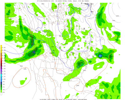
A strong cold front will cross the area Monday night and send us into a very winter-like pattern for the remainder of next week. Temps will fall during the day Tuesday, with highs in the low 50s and gusty winds. On Wednesday and Thursday, highs will struggle to get out of the 40s, with nighttime lows in the 20s to around 30 in the city. Things will get interesting on Friday:
The GFS and EURO models have been hinting that two clippers, particularly the latter, may give us our first snow of the year. The first clipper is the weaker of the two, and and would perhaps give us a few flurries/drizzle on Wednesday night-Thursday. The bigger storm would be Friday night-Saturday.
If this were January, I would say that this storm would have the potential for several inches of snow.... but its November. As such, it is possible that if everything were to go right that we get some snowflakes or a very chilly rain during the period in question. Lots can change between now and then, but the underlying theme here is that a winter-like pattern will take shape next week.
| Days | Mon | Tue | Wed | Thu | Fri | Sat | Sun |
|---|---|---|---|---|---|---|---|
| Lee C. | -- | -- | -- | -- | -- | -- | -- |
| John Y. | -- | -- | -- | -- | -- | -- | -- |
| Days | Mon | Tue | Wed | Thu | Fri | Sat | Sun |
|---|---|---|---|---|---|---|---|
| Temps | -- | -- | -- | -- | -- | -- | -- |
Welcome to winter next week!
By John Y. On Saturday, November 03, 2007 At 12:40 PM


for this post
Leave a Reply