
 Spring arrives at 1:26 this afternoon (when something called the vernal equinox occurs), but with cloudy skies and cool temperatures, spring fever will be put on hold for awhile. A developing storm system to our southwest will continue sliding northeastward through today and tonight.
Temperatures should fall into the lower 30s before precipitation moves into the region tomorrow morning. Snow showers will progress across the region in a southwest to northeast fashion between 7 and 10 AM.
Time permitting, I may be able to get a snowfall map out later today, but don't count on it. Because temperatures over the past few days have been sitting in the upper 40s/near 50, road temperatures are well above freezing, which should inhibit snowfall accumulation on the major arteries. However, secondary roads will likely become slick through the afternoon, but snowfall accumulations should stay under 1 or 2 inches on the back roads.
The NWS seems to have a good handle on this situation, and explains in their Forecast Discussion that the Precip forecasts would justify a few inches of snowfall accumulations (like 4 or 5" if taken literally), but mitigating factors like road surface temperatures and above-freezing surface temps should keep totals down around 1-2 inches. Out west, however, where temperatures should be a bit cooler, snow accumulation may eclipse 3 inches in some locations.
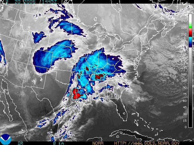
Image above: Satellite Picture showing a developing baroclinic leaf in the central US.


for this post
Leave a Reply