 Temperatures today were able to squeeze into the upper 40s under variable cloudiness associated with several "kinks" in the flow about 25,000 feet aloft.
The forecast over the next 12-48 hours remains basically the same: Clouds will begin to increase out ahead of ahead of a developing low pressure system in the Central Midwest tomorrow morning, and will progressively lower through the atmosphere as the day wears on. The image to the right is a numerical weather forecast valid tomorrow morning. The deep reds are associated with significant vertical motion in the midlevels of the atmosphere, and forecasters can often anticipate clouds and showers in the areas where air is rising rapidly. The "L" in the central Midwest is forecast to move eastward over the Ohio River Valley, and deliver some good rainfall for the region.
You shouldn't have to worry about taking the umbrella out until after the noon hour, before rain showers become heavier and more concentrated. Clouds and showers will stay with us off and on through Tuesday, before our pesky lows move out to sea.
After Tuesday's storm departs, we're stuck in between storms as one low races out to sea, and another forms along US/Canada boarder. By the end of the week, some models hint at a coastal low developing as a primary low transfers some energy across the Appalachian Mountains. Most of this event would likely be rain, but enough cold air may get pulled down from Canada to change precipitation over to snow, especially north and west of the major cities.
Top 5 Weather Events of 2005:
**Note** The following weather events are entirely opinionated, and you may have a different take on the top 5 list.
5. January 22, 2005
A winter storm affects the metropolitan regions of the Mid Atlantic with anywhere from 2 to 4 inches of snow. Schools are canceled, and traffic becomes hazardous. For the remainder of January, temperatures remained relatively uniform in the mid 30s.
4. February 28, 2005
Yet another winter storm throws the District into chaos (well, almost) as 3-6 inches of snow coat the roadways and sidewalks. A total of 5 inches of snow fell during the month of February.
3. July 27, 2005
Nearly 200 reports of wind damage riddled the Storm Prediction Center's database as an intense summer cold front ripped through the east coast. Hundred of trees were toppled under 50-70 mph wind gusts from severe thunderstorms. Laytonsville, MD also reported golfball size hail...nearly 2 inches in diameter.
2. September 24, 2005
The eye of Hurricane Rita made landfall near the Texas/Louisiana Boarder around midnight with biting winds topping 120 mph. Damage was less than expected in the Galveston area, as a slight jog to the east prior to landfall moved the highest winds about 50-100 miles towards eastern Texas.
1. August 29, 2005

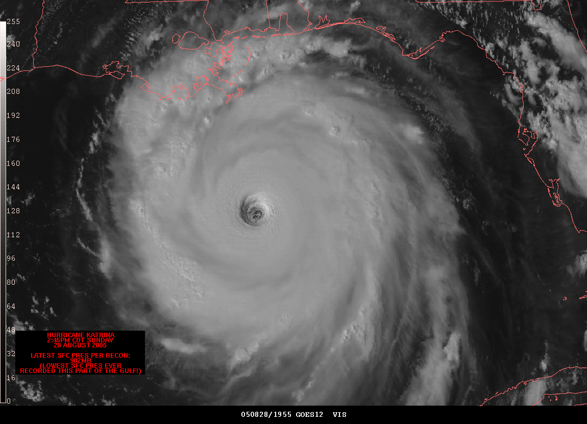
Hurricane Katrina makes landfall in the Southern Plaquemines Parish of Louisiana with 135 mph winds, and gusts topping 145 mph. The levees that kept the below sea-level city from flooding held for the first 12-24 hours after landfall, but failed once water backed up enough along the 17th street canal. Damage estimates are nearing $100 billion, making Katrina the costliest natural disaster in American history.


Great Article